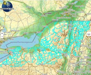
Price range: $20.00 through $80.00
This product adds our extensive routing Snowmobile trail map data to OsmAnd, the most fully functional GPS mapping app for android and iPhone tablets and smart phones. The free OsmAnd app for android is available in the Google Play Store and Apple App Store.
Either variation of the app provides loads of useful features for navigation and trip planning. Our trail map adds precise turn by turn routing on snowmobile trails, displays color coded trails, trail names and numbers, searchable map points for on-trail services and more.
With our new Ala-cart ordering you can order individual state/province maps, update previous purchases, or get the built-in discount by ordering multiple state/province map at one time.
Description
This product uses our most extensive routing GPS Snowmobile trail map data for use in the OsmAnd app. OsmAnd is the most fully functional GPS mapping app for android and iPhone tablets and smart phones. The free OsmAnd app for android is available in the Google Play store, provides loads of useful features for navigation and trip planning. The iPhone version available in the apple store has a bit few features than the android version, but is still highly capable. Our trail map adds precise turn by turn routing on snowmobile trails, displays color coded trails, trail names and numbers, searchable map points for on-trail services with links to websites, phone numbers and street addresses.
All the maps you need can be stored on your phone or tablet, so there is no worry in the deep back woods where no data signal is available. Several free raster map backgrounds can be preloaded in the OsmAnd app to provide even more capability.
Choose our snowmobile trail maps for Maine, New Hampshire, Vermont, New York, Michigan, Minnesota, Quebec and Manitoba Canada.
Watch a quick video of an older version of the App here…
View the install instructions on Android Phones and tablets here…
View the install instructions on Apple iPhones and iPads here…
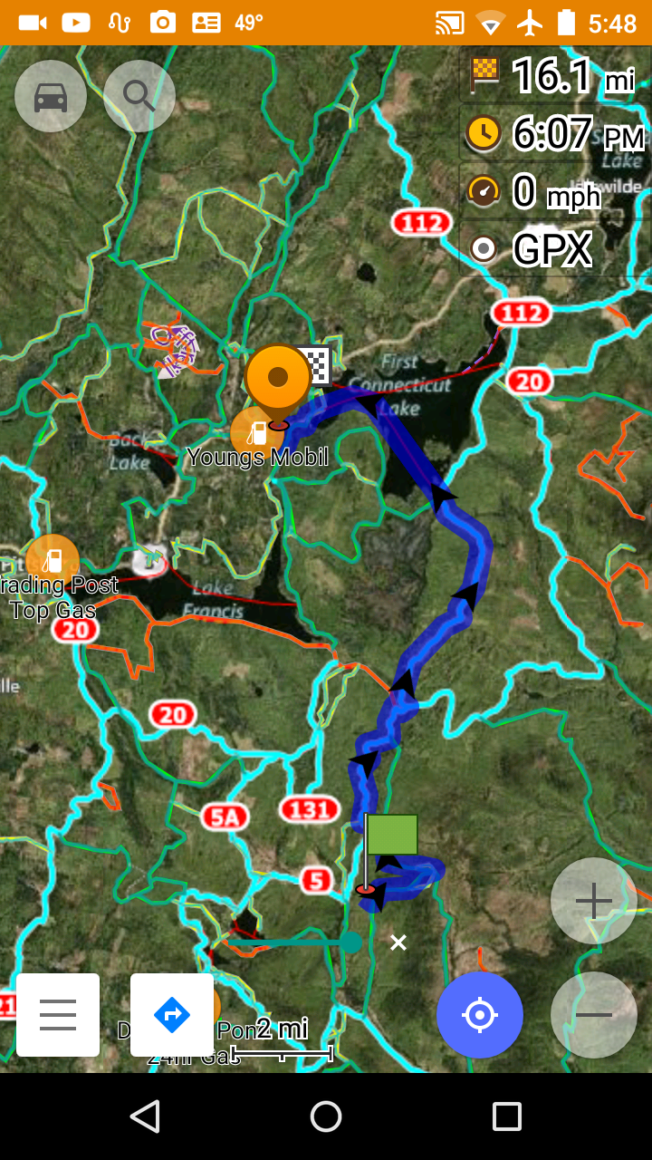
Example screen shots below are from an older version of the app on Android devices.
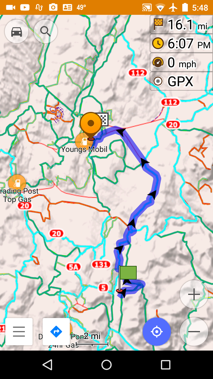
Plug our map data into the OsmAnd app and watch it shine as a snowmobile trail navigator.
Here is what is included in our downloads.
- Extremely high resolution vector maps show every nuance and curve of the trails.
- Two vector map styles, one 5 color using color to indicate trail types. One cyan color for maximum contrast over dark map backgrounds. This is in addition to several standard OsmAnd vector map styles.
- Optional state/province transparent raster overlay maps, including trail number chevrons for primary and secondary trails, and POIs. The overlay is viewable at state wide zoom levels.
- POI’s (Points of interest) for gas, food, lodging, intersections, scenic outlooks, and attractions.
- Detailed POI descriptions for gas food and Lodging, includes phone numbers, web site and street addresses.
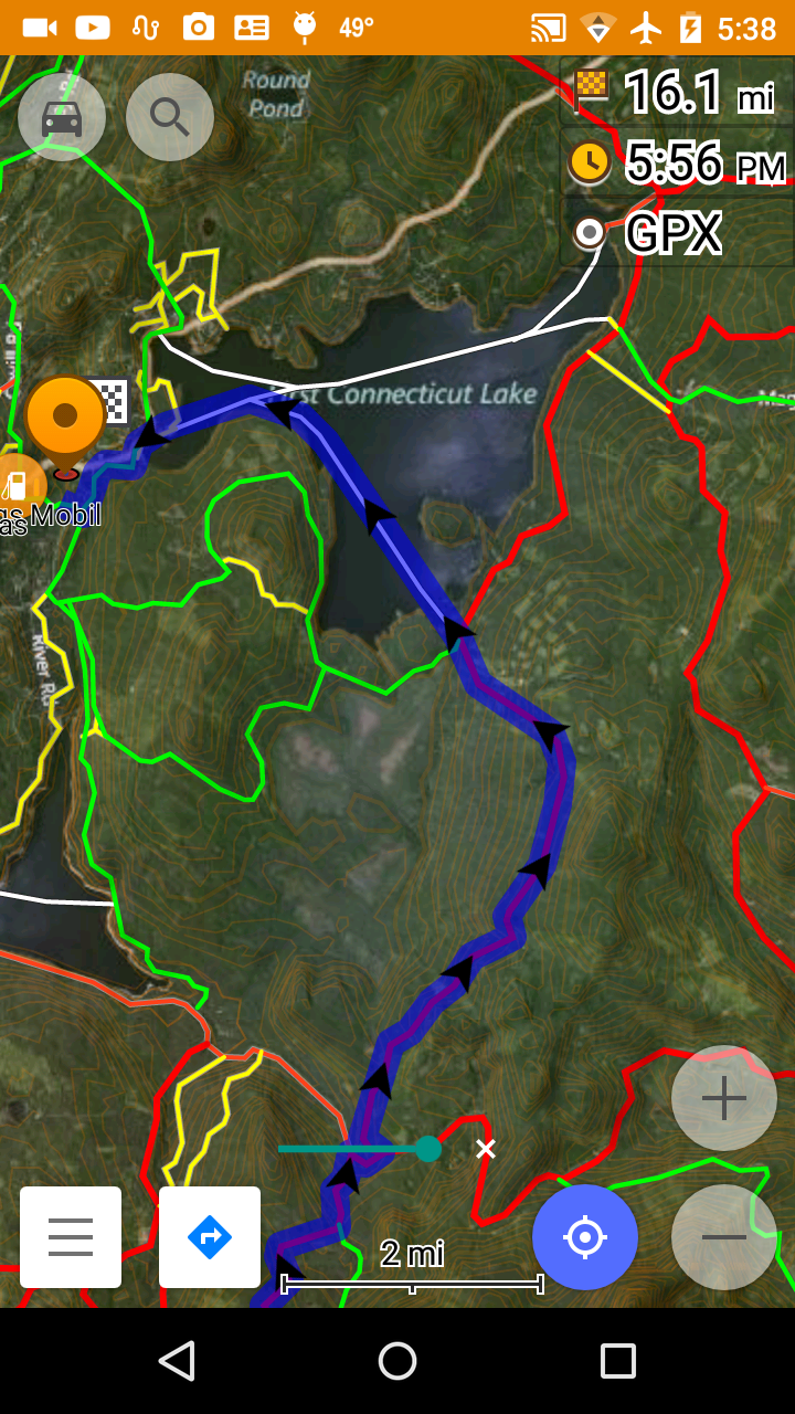
5 Color vector map style over Microsoft Hybrid satellite image background map.
- Red- = Primary Trail
- Green = Secondary Trail
- Yellow = club and service access trail
- Orange = off-trail
- White = Ice Crossing
- Blue = calculated route.
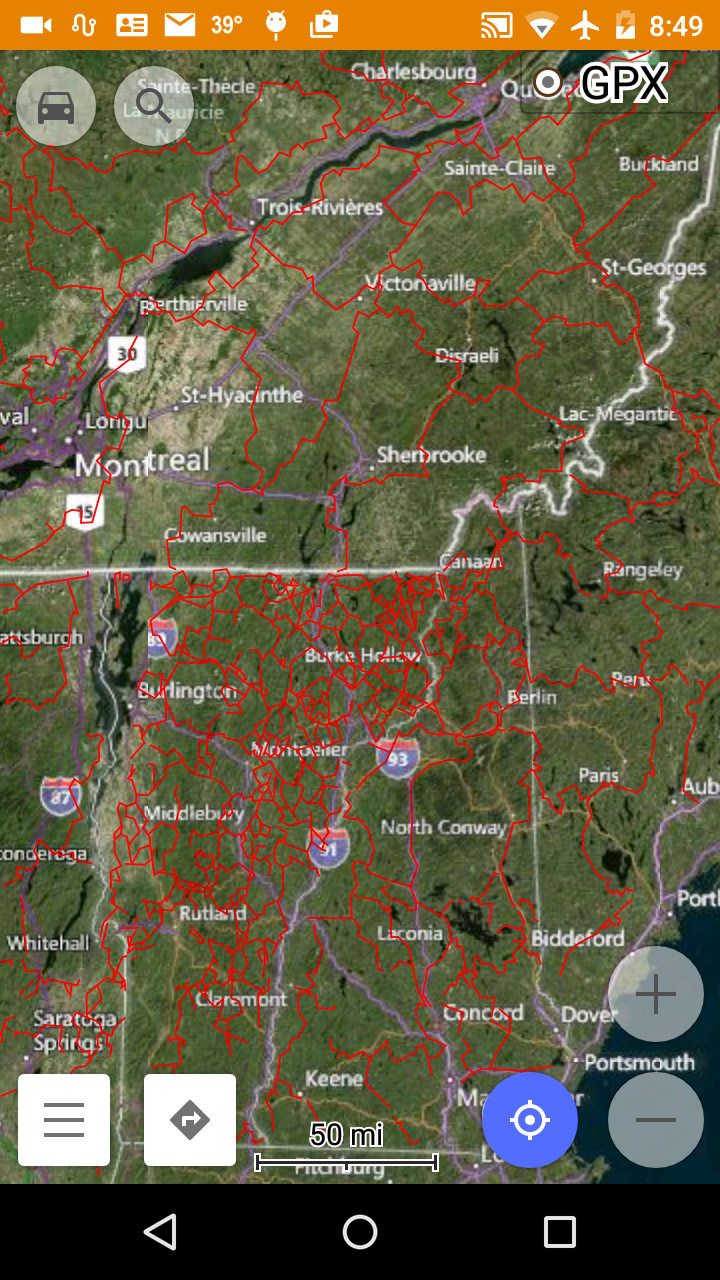
Multi-state map zoomed out wide with primary trails shown in snowmobile 5 color vector map style.
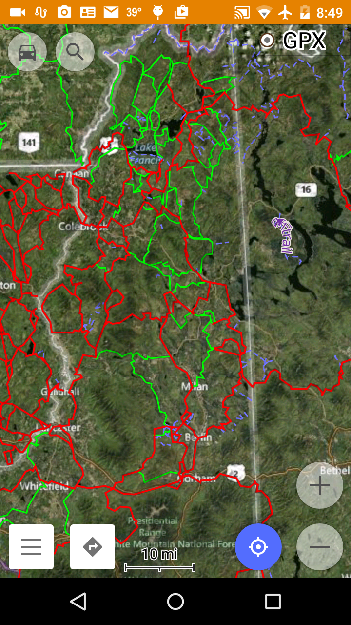
5 Color vector map style zoomed in to view primary and secondary trails. Tertiary level trails do not become visible until zoomed in further.
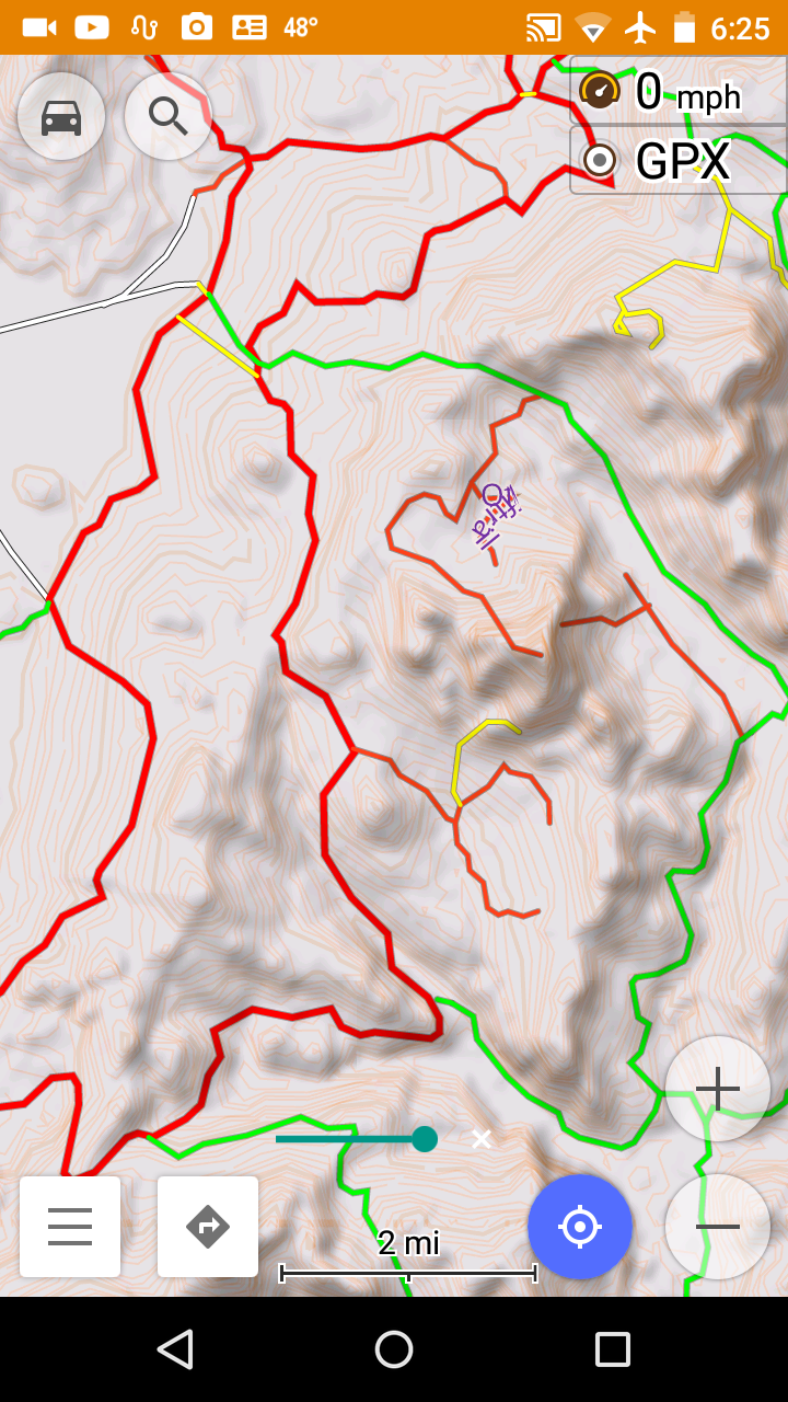
5 Color Vector Map style over a minimalist background of shaded relief and elevation lines. Tertiary level trails (club trails) appear as yellow trails at this zoom level.
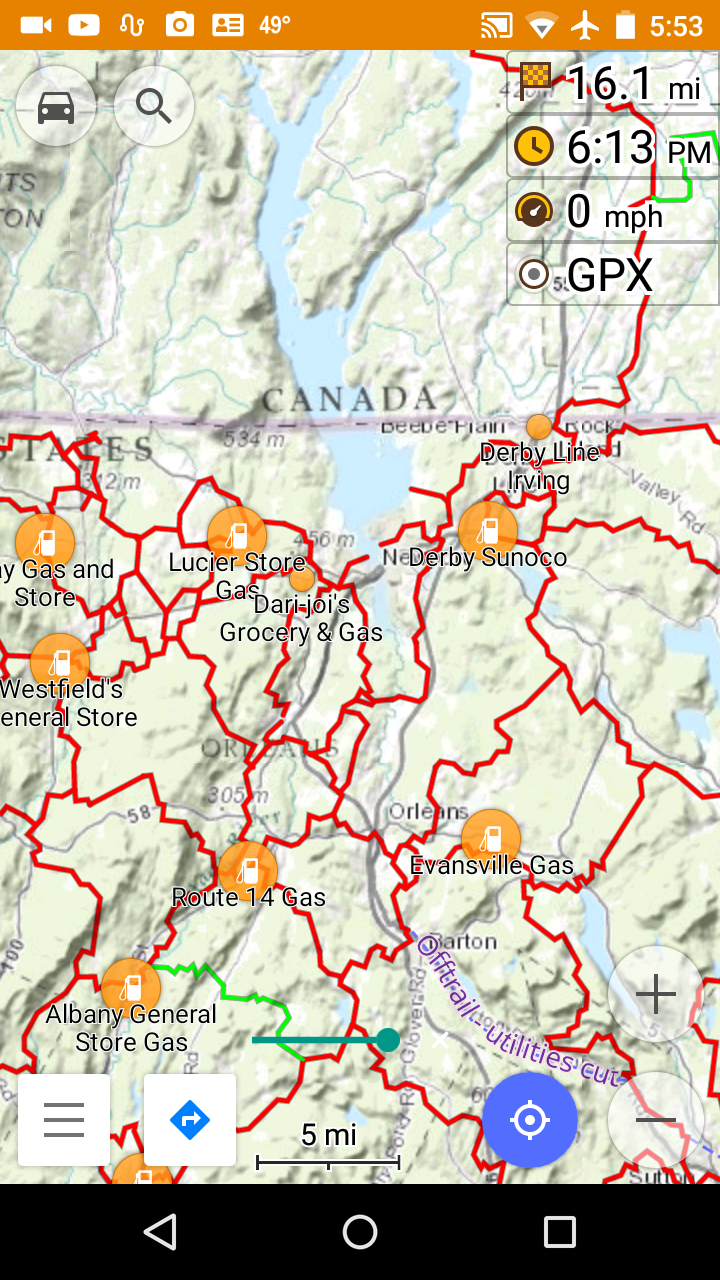
5 Color Vector Map style over ERSI Topo map, with Gas Station POI display enabled.
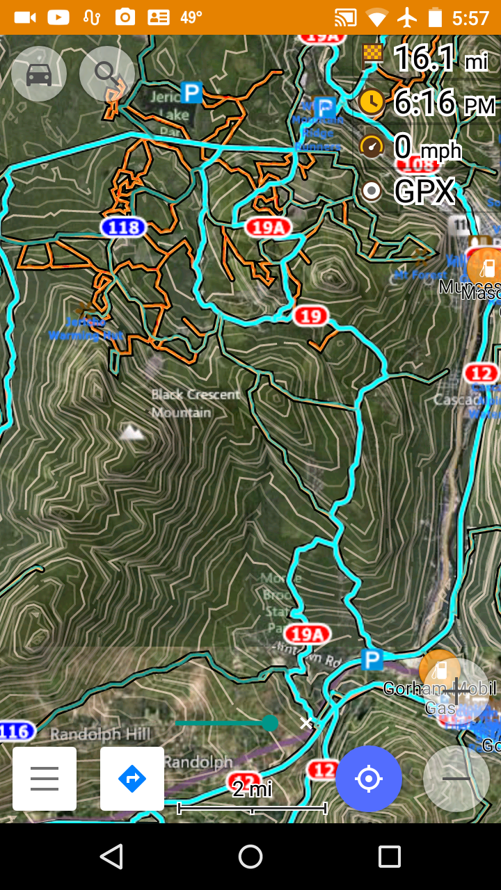
Topo vector map style, snowmobile raster map overlay with trail number chevrons.
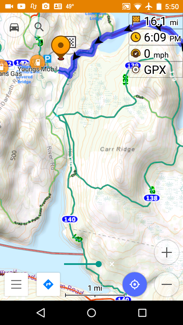
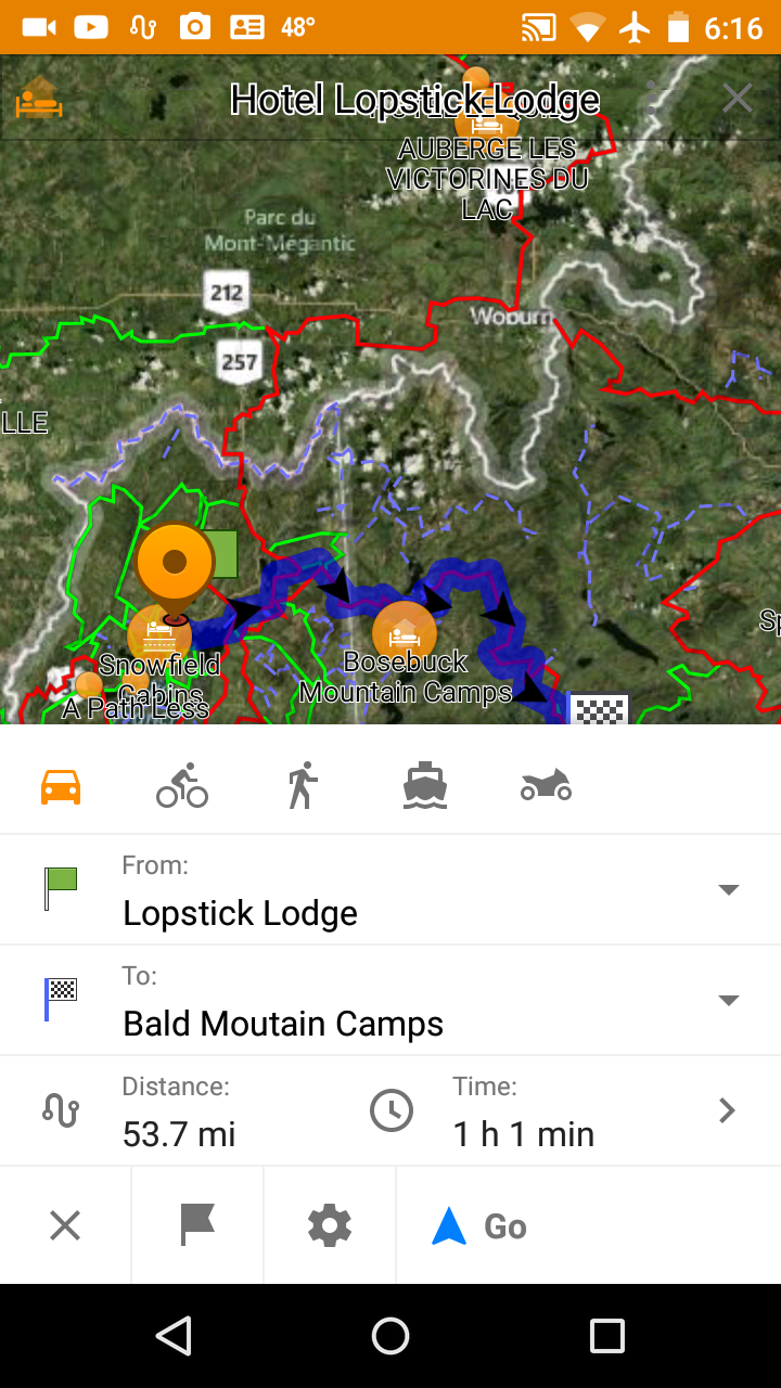
Snowmobile Raster overlay with trail number chevrons, POIs, over ERSI Topo map with a calculated route (dark blue with arrows).
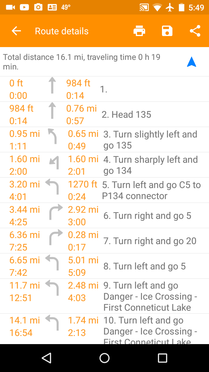
Turn by turn list for a calculated route. Spoken with TTS speech files installed.
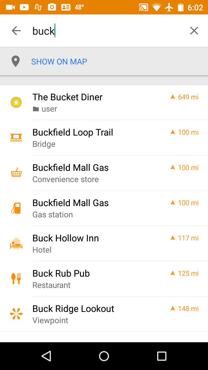
Search map points (POIs) by name.
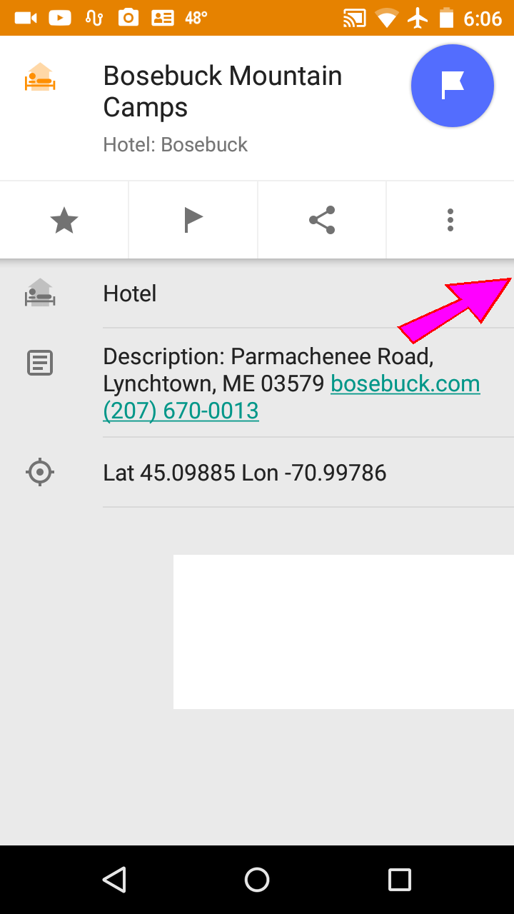
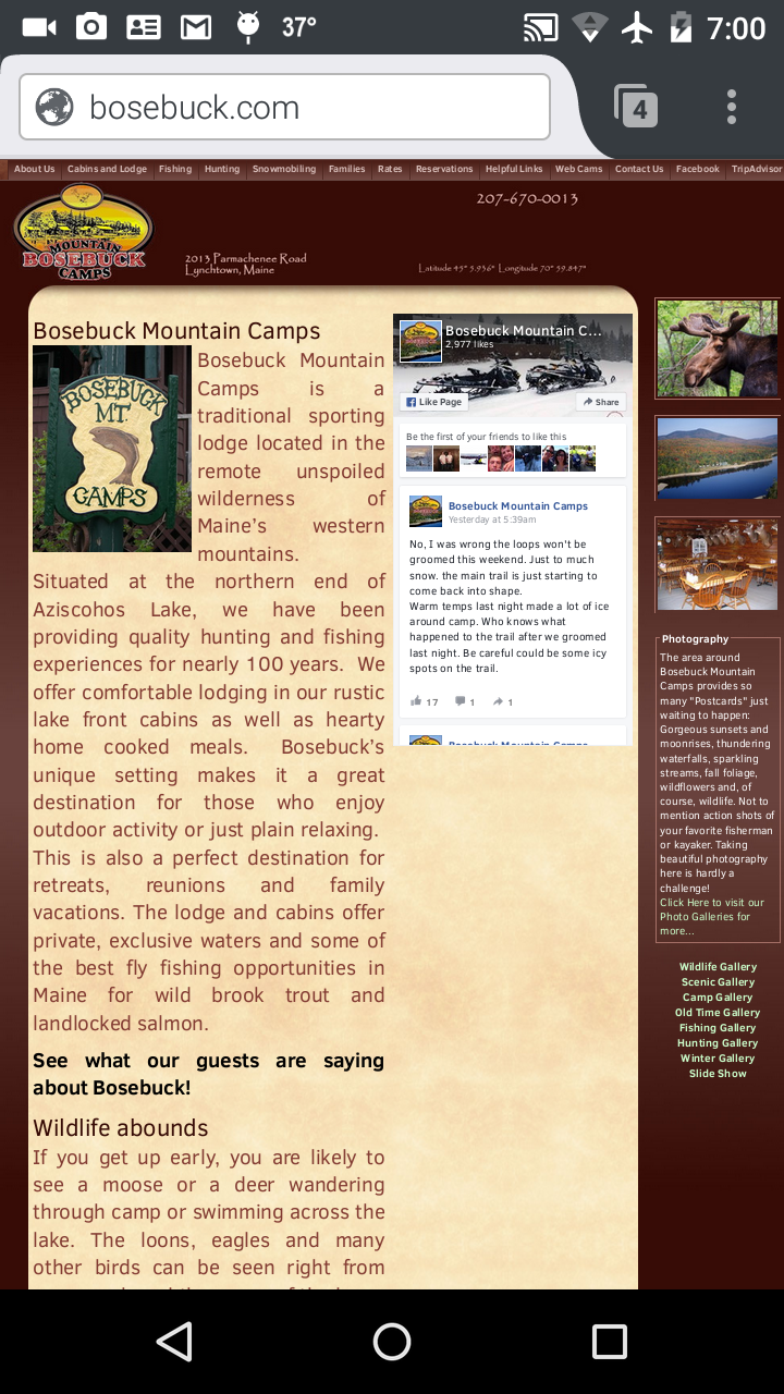
Enhanced contact information including street address, web site link, and phone numbers for POI types Gas Food and Lodging. Call ahead to find out if the gas station is really open. Browse a restaurants menu on the web. Check availability and rates for a hotel.
Just click on a phone number to initiate a call.
Click on a web site URL to open that page.
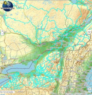
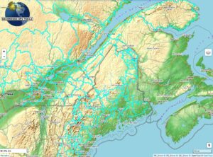
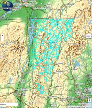
Click on a button below to preview the map set data in a new window or tab.
The preview map depicts the trails and map points provided in the map product. The colors in the preview are different than those in the product. The screen captures above may differ from the latest version of the app as it is being actively developed and constantly improving with each new version. Most major features are free, but there are an increasing number of paid (for a modest price) for additional features such as 3D terrain, and unlimited access to highway maps across the world. The preview data may be a bit behind the actual the latest version of the product.

