Minnesota ATV, ORV and Trail Bike Trail Map for Garmin GPS
This routing ATV trail map covers over 3180 miles of legal ATV, ORV and Trail Bike trails in Minnesota. This map routes you along trails to your destination with spoken turn by turn directions, visual and audible indications of turns, lists of turn by turn directions, estimated time of arrival (ETA), detouring, route avoidances and precise distance to destination calculations. Includes POIs for campgrounds, hotels, gas stations and convenience stores, toilets, most with addresses, phone numbers and web site links.
Description
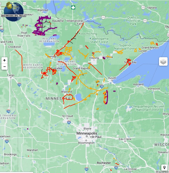
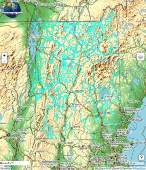
Browse the interactive map below to preview the map content
This GPS trail map (based on DNR data) helps you effortlessly explore Minnesota’s extensive ATV, ORV and Motor Bike trail system. Tackle the larger trail systems like Bemis Hill Trails, the Timber Trails to rack up some serious miles (and smiles). Checkout the variety of terrain on Nemadji State Forest Trails, over at General C.C. Andrews State Forest Trails, or the extra long expeditions possible on the Soo North and South Lines. Find lots of curvy single track runs for you bike in the Paul Bunyan State Forest, or venture into the Saint Croix State Forest. From there you can ride to several parks including Smokey Hills, Two Inlets and Lake George. We include the smaller trail systems like Shady Oaks Native Prairie Adventure Trails, Appleton Area Recreational Park. Trout Valley ORV Park is small but it has some cool terrain and ridge running if you are in that area and the similar Snake Creek ATV trails are nearby. Find massive quantities of windy trail bike trails at Huntersville State Forest. Spider Lake area looks like fun with lots of water features.
You can view the map legend here.
What you see in the map display above illustrates the trails and searchable map points included in the product. This product includes a Garmin format map that includes ATV, OHV, Trail Bike trails, DNR Forest roads open to ORVs. Also includes map points for Parking, Lodging, Restaurants, and Gas, an installation program to install the map onto your Windows PC or Macintosh computer. The colors of trails are not replicated here exactly as it will appear on your GPS. Trail names are displayed on your GPS. To evaluate the map, scroll around the map to different areas. Zoom in close to view how precisely the trails follow the underlying logging roads and paths that are used for trail riding. Our online map may be a few versions behind the product version. The trail map product does not include background maps and overlays (terrain, roads, satellite images, snow depth, weather and radar) shown on the map display above. A separately selectable topographic map is included for use as a background map on your GPS. Various backgrounds are displayed here merely to give you context of where the Trails and POI’s are located and to allow you to evaluate the trail map trails and map points. The trail map is transparent, and can be superimposed over the base map(s) and/or shaded relief map built into your GPS firmware, as well as most Garmin and third party maps. See Trail Map Features for additional information.
Additional information
| Media Options | Download ZIP format, Pre-loaded micro-sd card |
|---|
Related products
-

Load my maps on Micro-sd
$25.00 Add to cart -
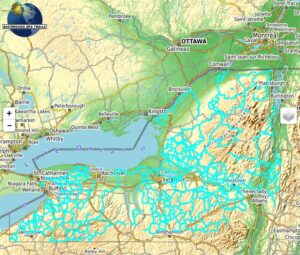
NY Snowmobile Trail Map for Garmin
Price range: $40.00 through $60.00 Select options This product has multiple variants. The options may be chosen on the product page -
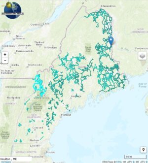
NH ME ATV Map for Garmin
Price range: $40.00 through $60.00 Select options This product has multiple variants. The options may be chosen on the product page -
NH & VT Snowmobile Trail Map for Garmin
Price range: $40.00 through $60.00 Select options This product has multiple variants. The options may be chosen on the product page