$25.00
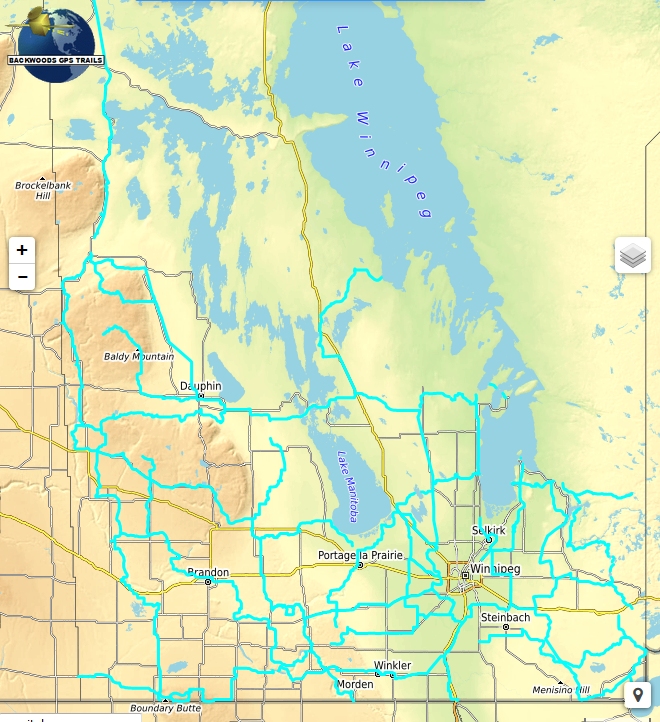
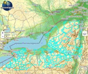
This routing snowmobile trail map covers over 7359 miles (11842 kilometers) of provincial, regional and local trails in Manitoba Canada. The map is based on snowman GPS tracks, but increases resolution by nearly a factor of 10. Includes POIs for restaurants, gas stations and lodging. Snowman defined waypoints along trails are included including links to online snowman maps and trail status reports.
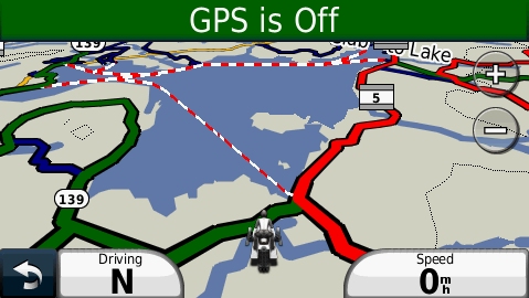
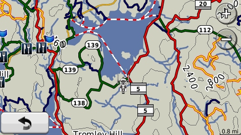
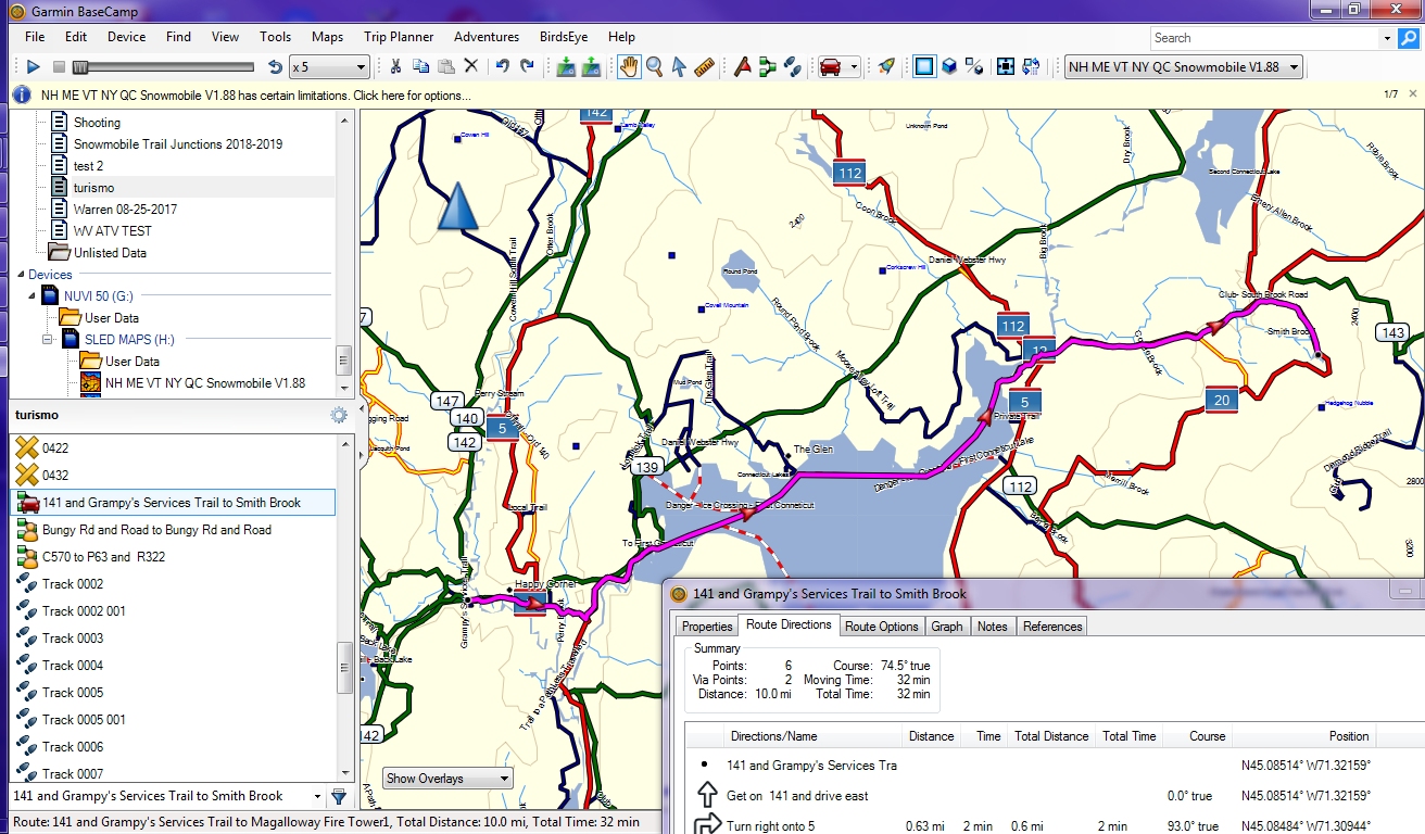
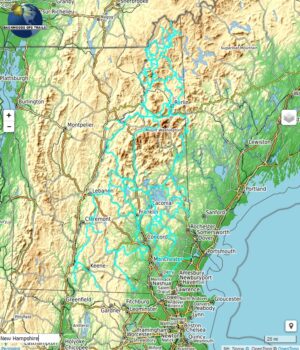
This map automatically routes you along snowmobile trails to your destination with spoken turn by turn directions, visual and audible indications of turns, lists of turn by turn directions, estimated time of arrival (ETA), detouring, route avoidances and precise distance to destination calculations. The map displays trail number signs on provincial and regional trails, and trail names along some local trails, and ice crossings. Line width and color indicate differences between trail types.
Description
Browse this map to preview and evaluate the product
This map includes snowmobiling hot spots, such as Lac Du Bonnet, The Pas, Parkland in Dauphin, Whiteshell Provincial Park, Swan Valley and more.
What you see in the map display above illustrates the trails and searchable map points included in the product. This product includes a Garmin format map that includes snowmobile trails and map points, an installation procedure to install the map onto your Windows PC or Macintosh computer. The colors of trails are not replicated here exactly as it will appear on your GPS. Trail names and highway signs type indicators are displayed on your GPS.
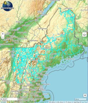
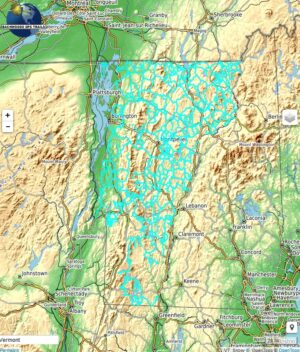
To evaluate the map, scroll around the map to different areas. Zoom in close to view how precisely the trails follow the underlying logging roads and paths that are used for snowmobiling. Trails marked with ~ symbol in the name are approximated trails.
The trail map product does not include background maps and overlays (terrain, roads, satellite images) shown on the map display above. A separately selectable topographic map is included for use as a background map on your GPS. Various backgrounds are displayed here merely to give you context of where the Trails and POI’s are located and to allow you to evaluate the accuracy and precision of trail map trails and map points. The “Search for Address” feature is not provided, but a similar find feature (Where To? or Find) is built into your GPS. The trail map is transparent, and can be superimposed over the base map(s) and/or shaded relief map built into your GPS firmware, as well as most Garmin and third party maps.
See Trail Map Features for additional information.
Additional information
| Media Options | Download ZIP format |
|---|
Related products
-
NY Snowmobile Trail Map for Garmin
Price range: $40.00 through $60.00 Select options This product has multiple variants. The options may be chosen on the product page -
NH ME & VT Snowmobile Trail Map for Garmin
Price range: $50.00 through $70.00 Select options This product has multiple variants. The options may be chosen on the product page -
VT Snowmobile Trail Map for Garmin
Price range: $25.00 through $45.00 Select options This product has multiple variants. The options may be chosen on the product page -
NH Snowmobile Trail Map for Garmin
Price range: $25.00 through $45.00 Select options This product has multiple variants. The options may be chosen on the product page