
$0.00
ERSI Topographic map underlay for OsmAnd
Out of stock
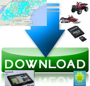
Description
 This free download will enable you to add the ERSI Topographical online raster map from ArcGIS to the OsmAnd map app for android. The ERSI Topo map works nicely as an underlay (background map) in OsmAnd under our ATV or Snowmobile trail maps. You can cache the tiles on your device for use out in the boondocks where there is no internet or cellular data connection.
Note: This is already included in any of our trail maps for OsmAnd.
Installation Instructions for ERSI topo online tiles for Osmand Android.
- Download the file to a well known location on your computer or phone.
- Create a folder in the osmand/tiles/ folder named “ERSI Topo” on your android phone or tablet.
- Unzip (extract) files from the ERSI_Topo.zip file to a location on your computers hard drive,
- Copy the ESRI_Topo.metainfo file to the osmand/tiles/ERSI Topo folder on your phone or tablet.
- Rename the file to .metainfo
- Start OsmAnd and select ERSI Topo as your underlay map.
- Adjust the transparency to 0 (opaque).
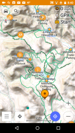
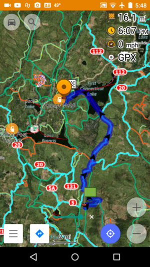
- Scroll and zoom the map display to an area of NH or ME where ATV trails are known to be.
- You should see bluish green (cyan) lines indicating ATV trails.
Before you hit the trails
Your should cache the online raster tile that you will need on your ride so they are available without an internet connection. Hers’s how to do that
- Set the MapSource to ERSI Topo,
- Scroll the map to the area where you will ride.
- Zoom the display to the area which will be the extent of your ride
- Long click on the map to display the a location box.
- Click on the location box and select “Download Map”
- Adjust the slider to indicate the zoom depth you desire (level 14 is pretty good for most piurposes)
- Wait for the download to complete
- Switch the Map Source back to offline vector maps